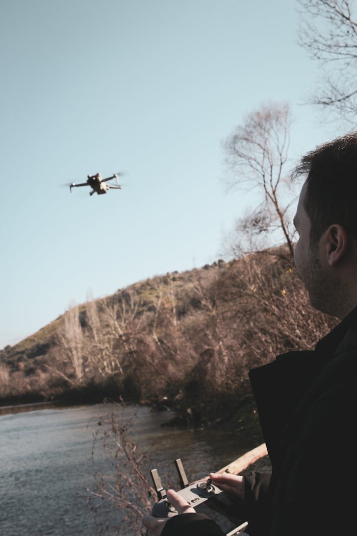
Aerial Mapping
Utilising UAV technology, we provide detailed aerial mapping services that enhance project planning and resource management. Perfect for large-scale sites or agricultural land.
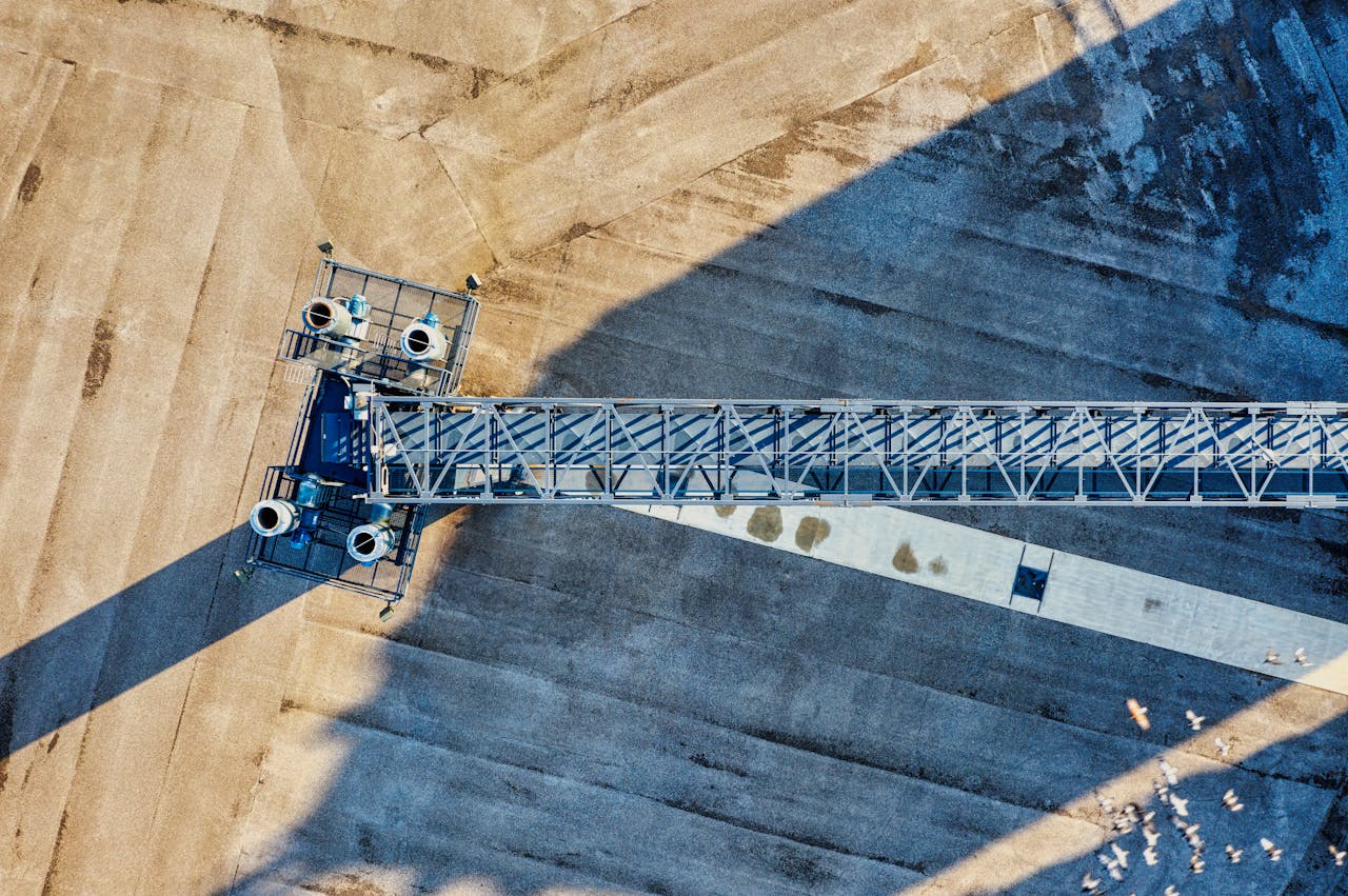
Site Surveys
Our drone site inspections save you time and reduce safety risks, delivering high-resolution imagery and data analysis to aid decision-making on construction projects.
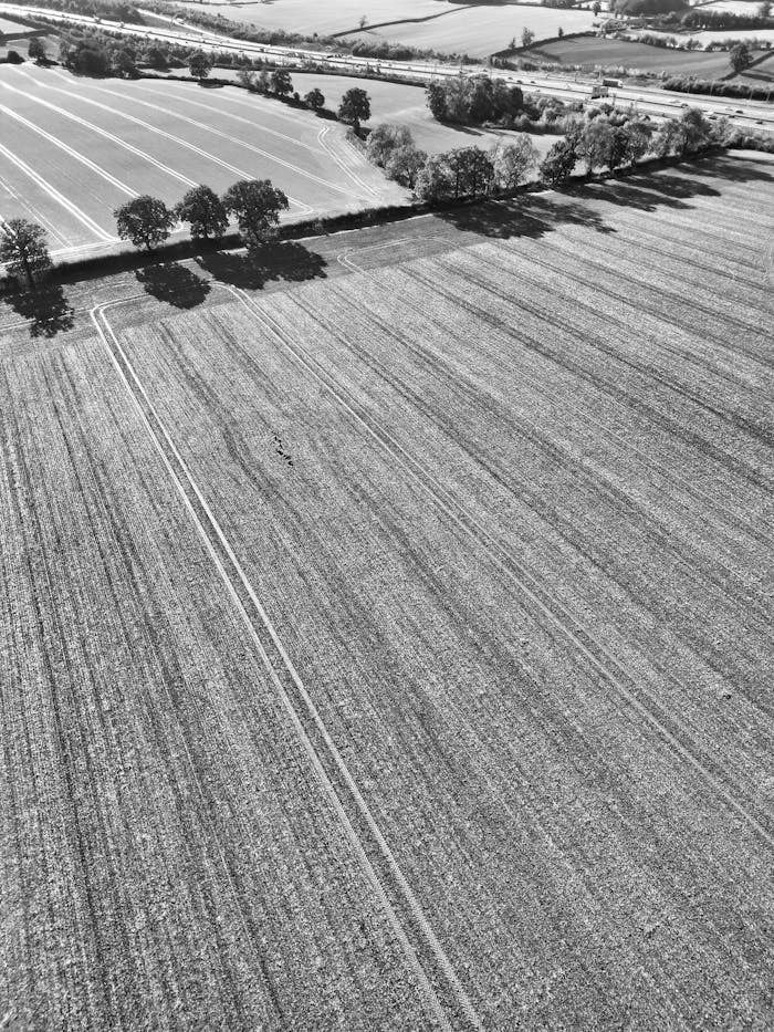
Agricultural Surveys
We provide high-resolution drone surveys that help farmers monitor crop health, spot issues early, and manage land more efficiently. Our aerial data supports better decisions, higher yields, and lower input costs.


SkyGrid Surveys transformed our data collection process. The precision and speed of their service exceeded our expectations!