Aerial Insights

Discover Our Key Services

Explore the range of drone surveying services we provide, tailored to meet the specific needs of various industries.

01

Aerial Mapping

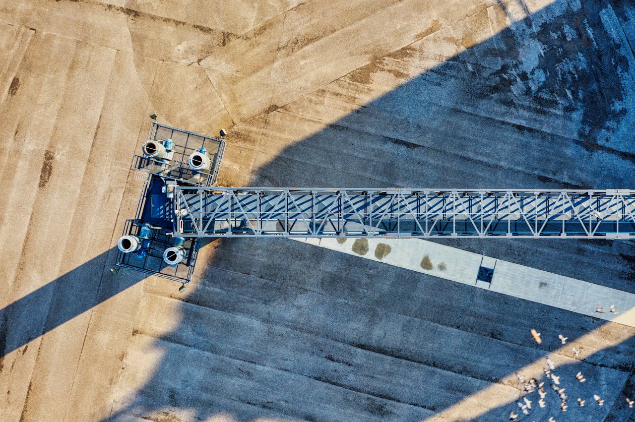
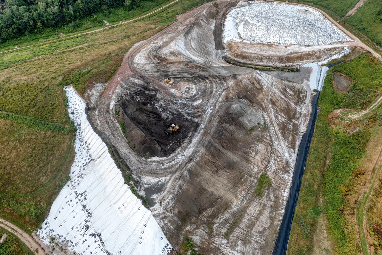
Our top-tier aerial surveying service utilises state-of-the-art drones to capture high-resolution images and data. This offering is essential for construction and infrastructure projects, ensuring precise measurements and assessments.

02

Site Inspections

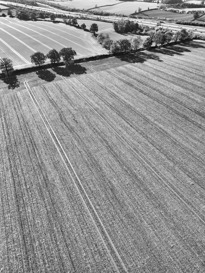
We specialise in agricultural drone surveys, helping farmers optimise crop management through detailed analysis of land and vegetation health. Our services empower you to make informed decisions to enhance productivity.

03

3D Modelling

Our thermal imaging surveys provide critical insights for building inspections and energy assessments. Detect thermal inefficiencies in buildings, ensuring safety and improved energy efficiency for your projects.

Why Choose SkyGrid Surveys for Aerial Data

With advanced UAV technology and a commitment to safety, we provide fast, accurate, and cost-effective aerial solutions that set us apart from the competition.

Cutting-Edge Technology

We leverage the latest UAV technology to deliver high-quality aerial data quickly and efficiently, ensuring our clients receive the best insights possible.
GVC Qualified Experts

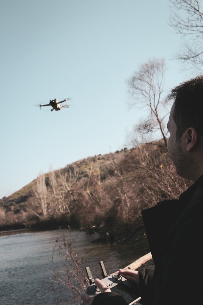
Our team is fully qualified with GVC certifications, guaranteeing safe, legal, and professional drone operation for all surveying projects.
Ready to Elevate Your Projects?

Contact us today to discover how our drone surveying services can bring value and efficiency to your business.

Scroll to Top